Go if
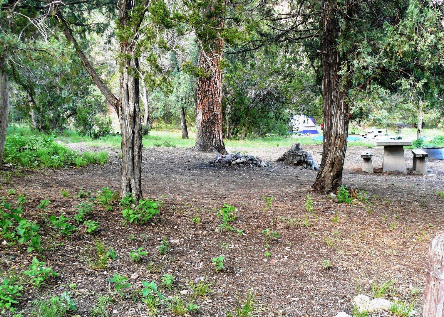
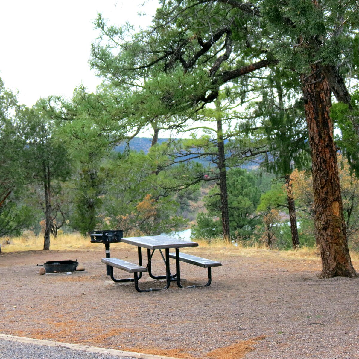
You want a peaceful, primitive base camp for hiking Gila Cliff Dwellings and exploring the West Fork canyon.
 4.3343 reviews
Seasonal ranking by Open-Meteo.com, licensed under CC BY 4.0, processed by Outdoorithm.

Price
Varies
Booking
Walk-in Only
Sites
Varies
Season
Year-round
Cell
Unknown
Pets
Check Policy
Elevation by Open-Meteo.com, licensed under CC BY 4.0, processed by Outdoorithm.
Price
Varies
Booking
Walk-in Only
Sites
Varies
Season
Year-round
Cell
Unknown
Pets
Check Policy
Elevation by Open-Meteo.com, licensed under CC BY 4.0, processed by Outdoorithm.
We'll monitor this campground and alert you the moment sites become available.
Free to start · Premium adds 2-min scans
263,000+ sites monitored · Email alerts to start; SMS and in-app with an account
Learn more about alerts →Lower Scorpion Campground
33.2299, -108.2576
We'll monitor this campground and alert you the moment sites become available.
Free to start · Premium adds 2-min scans
263,000+ sites monitored · Email alerts to start; SMS and in-app with an account
Learn more about alerts →You want a peaceful, primitive base camp for hiking Gila Cliff Dwellings and exploring the West Fork canyon.
You need marked trailheads from camp or can't sleep through nightly frog choruses.
Context for the broader area surrounding Lower Scorpion Campground, sourced from the federal Recreation.gov rec-area record.
For thousands of years, groups of nomads used the caves above Cliff Dweller Creek as temporary shelter. In the late 1200s, people of the agricultural Mogollon (Southern Ancestral Pueblo) culture made it a home. They built rooms, crafted pottery and raised children in the cliff dwellings for one or two generations. By approximately 1300, the Mogollon had moved on, leaving the walls behind.
Passenger vehicles can drive north of Silver City, New Mexico to the monument on NM Hwy 15. The 46 mile trip can take up to two hours due to the narrow and mountainous curving nature of the road. RVs and vehicles pulling trailers should NOT use NM Hwy 15. From Silver City, take US Highway 180 to Santa Clara. Turn left onto NM Hwy 152 and drive to San Lorenzo. At San Lorenzo, turn left onto NM Hwy 35 and follow it to its termination at NM Hwy 15. Turn right on NM Hwy 15 and follow signs to the park.

Availability, what to pack, similar spots — ask anything and get an instant answer.
Best season: summer. Summer offers the warmest, most accessible weather for exploring the West Fork Gila River canyon and visiting Gila Cliff Dwellings — expect daytime highs roughly in the mid-70s to mid-80s°F (24–30°C) with cool nights in the 40s–50s°F (5–12°C). River access, longer daylight, and peak hiking/wildlife-viewing opportunities make June and early September especially rewarding, though afternoon monsoon storms can bring brief heavy showers and lightning in July–August. Crowd levels rise around holiday/ Peak months: June, September, May, October
Described as best season; mid-70s to mid-80s°F days and cool nights ideal for exploring.
Weather data by Open-Meteo.com, licensed under CC BY 4.0, processed by Outdoorithm.
No water is available at this campground, closest source wood be Woody's, TJ Corral, or the Visitor Center
Researching this campground? Ask anything — other campers and our team will weigh in. No visit required.
Short heads-ups about the road in, gear quirks, and timing, compiled by Outdoorithm from public reviews and operator information.
Rate Lower Scorpion Campground
Been here? Tap a star to start. Takes about a minute.
Sign-in required only if you want your name on it.

Be the first to review this campground
Every adventure creates another. Share what you learned so the next camper feels a little more prepared heading out.