Perched along the mighty Mississippi River, Trail of Tears State Park honors the poignant 1838–39 Cherokee river crossings while offering a stunning riverfront escape. From breathtaking bluff-top overlooks to peaceful Lake Boutin, this park blends meaningful history with exceptional hiking, fishing, and wildlife watching—all framed by the timeless beauty of the river valley.
The park commemorates crossings of the Mississippi River by Cherokee detachments during the Trail of Tears (1838–39); the visitor center features exhibits interpreting the forced removal and the human cost of the journey. Interpretive displays and programming focus on this significant and solemn chapter of American history. Weather and SeasonsSummer brings warm, humid days perfect for cooling off in Lake Boutin, while spring and fall deliver comfortable temperatures and fewer crowds—ideal for exploring the park's trails and overlooks. Winter unveils a quieter, more contemplative side of the park, when the chill in the air is rewarded with spectacular bald eagle sightings and the peaceful beauty of the river in its most serene season.
Weather data by Open-Meteo.com, licensed under CC BY 4.0, processed by Outdoorithm.
Natural Features and SceneryThe campground sits where towering bluffs meet the Mississippi's edge, creating a dramatic landscape of mixed hardwood forests, winding ravines, and sweeping river panoramas. Whether you're casting a line into Lake Boutin's calm waters or scanning the river corridor for migrating waterfowl, you'll find yourself immersed in one of Missouri's most ecologically rich settings. Winter months transform the park into a haven for bald eagle enthusiasts, as these magnificent birds gather along the riverbanks in impressive numbers.
Geological RegionHigh bluff and river floodplain on the Mississippi River with mixed hardwood woodlands typical of the Ozark border; includes bluff-top overlooks and ravines.
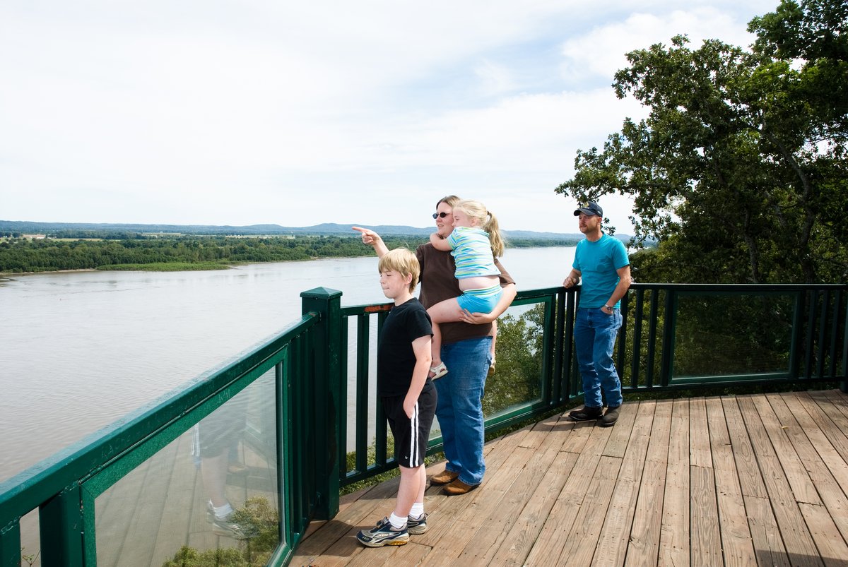
Scenic ViewsPanoramic overlooks provide sweeping views up and down the Mississippi River channel, including frequent towboat and barge traffic; bluff-top campsites and trails offer long river vistas and good opportunities for birdwatching and stargazing.
 4.20
4.20