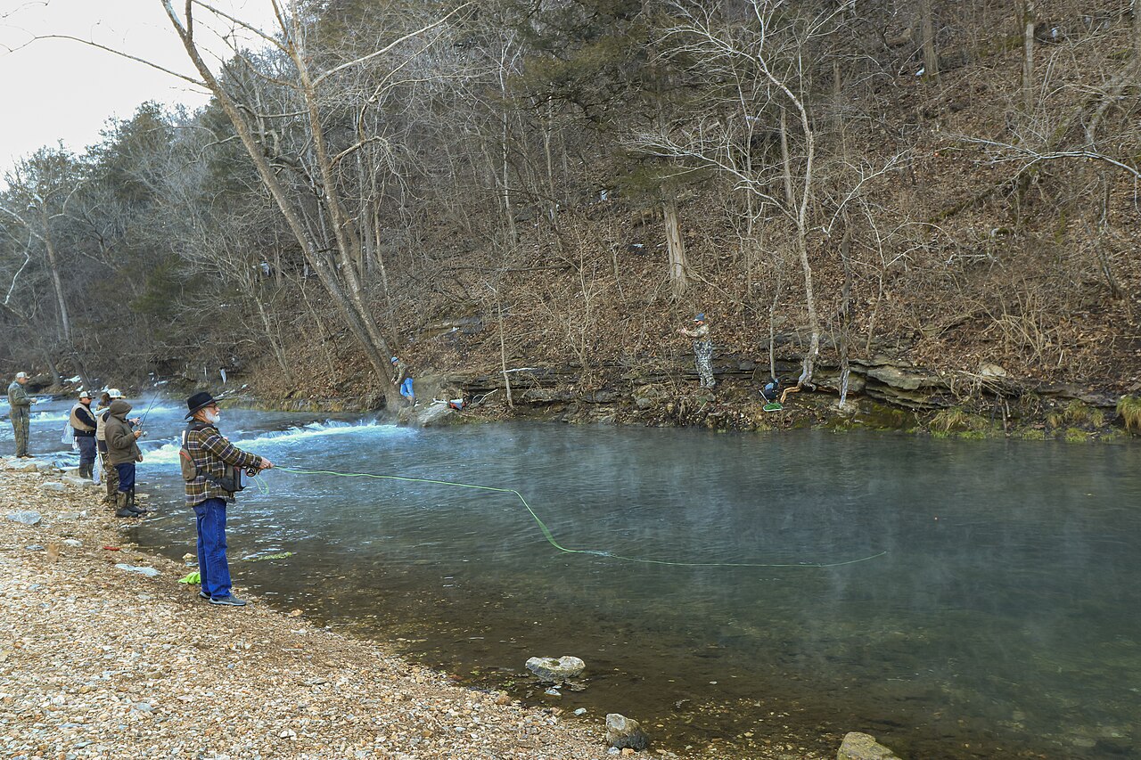
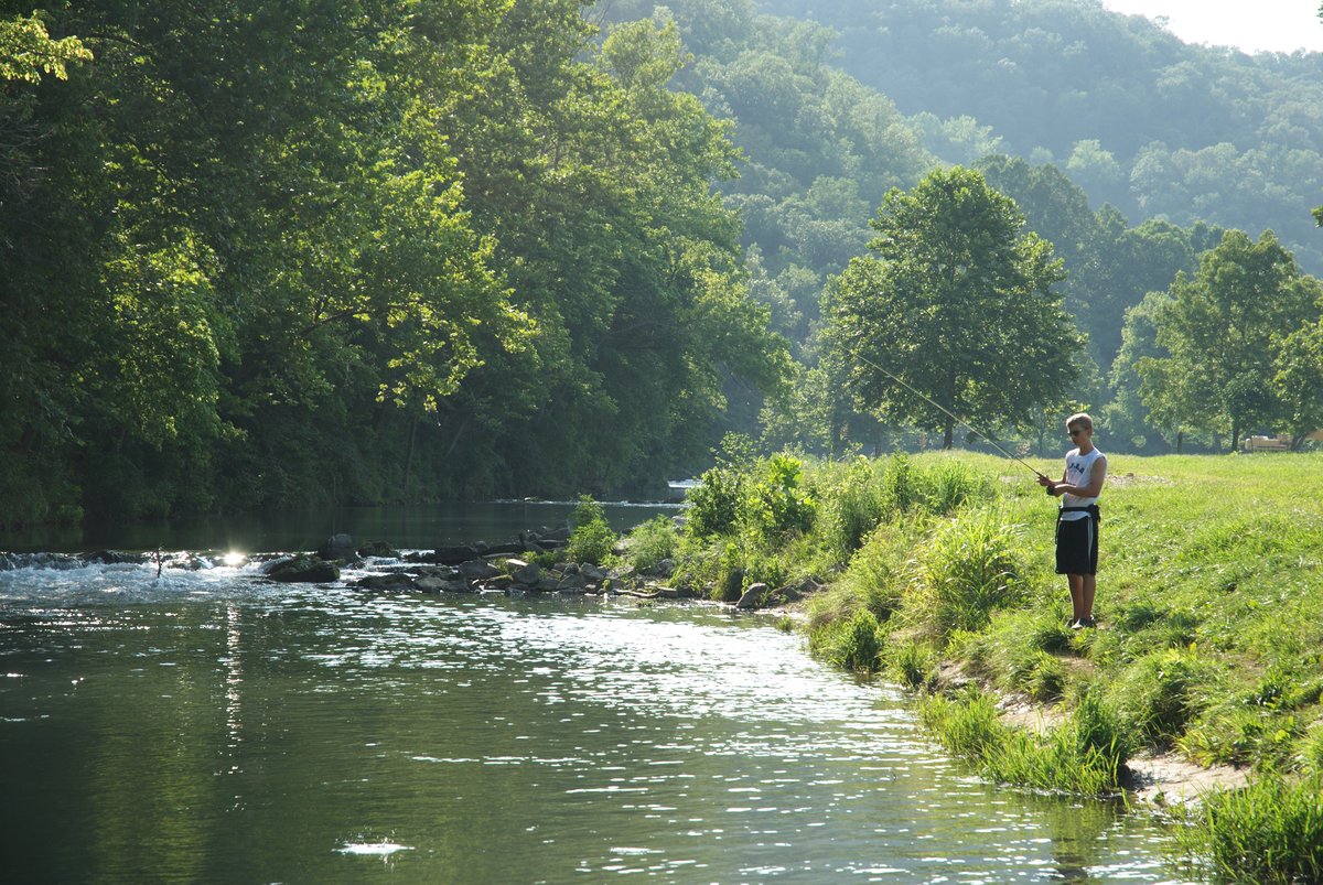
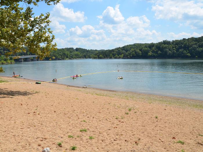
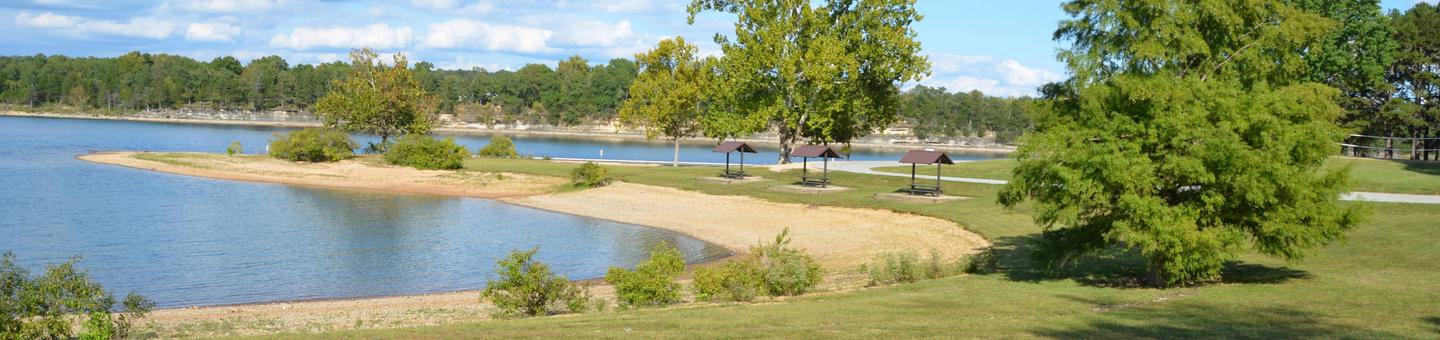
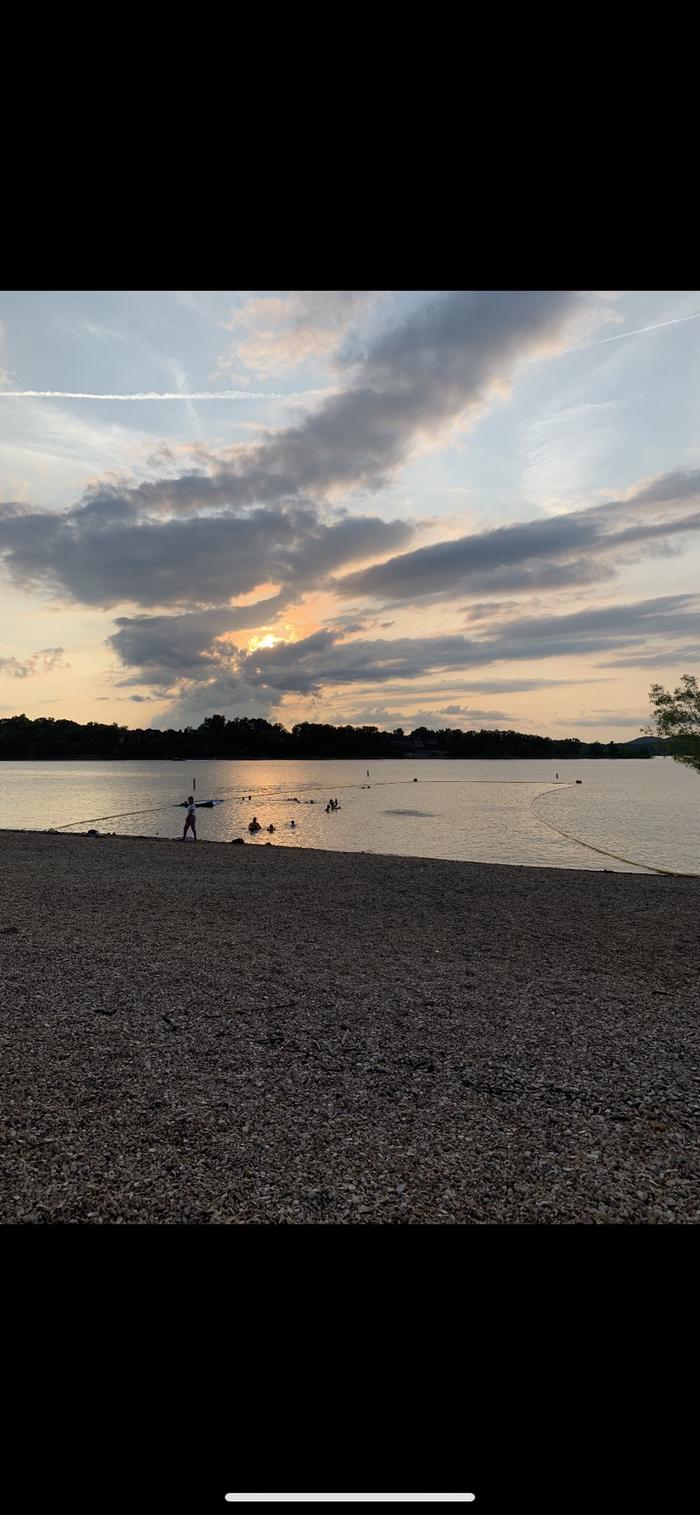
Special Use Campground sits in Roaring River State Park's deep, narrow valley and caters specifically to scouts and organized youth groups. The facility handles large gatherings (groups of 45+ have camped here comfortably) and includes an older building with a picnic area, a conference center, and a large shower/bath house. Campers praise the park's natural beauty, river access for fishing and swimming, and exceptionally helpful staff. Note: a loud pyrotechnic device fires between 8-10 a.m. daily near Campground 3 and the hatchery to deter black vultures.
Weather and SeasonsSpring brings the most comfortable weather and the valley at its liveliest. Daytime highs run mid-50s to mid-70s°F (March 50-65°F, April 60-75°F, May 65-80°F). Trout fishing peaks, wildflowers bloom on the slopes, and creeks run clear after spring rains. Crowds are moderate compared to summer. Summer is the busiest season. The cold river draws swimmers and waders, and trout fishing dates pack the park. Expect full campgrounds and heavy traffic near the hatchery. Fall offers milder temperatures and colorful foliage with fewer visitors, good for hiking and fishing. Winter is quietest but cold, with some services limited.
Weather data by Open-Meteo.com, licensed under CC BY 4.0, processed by Outdoorithm.
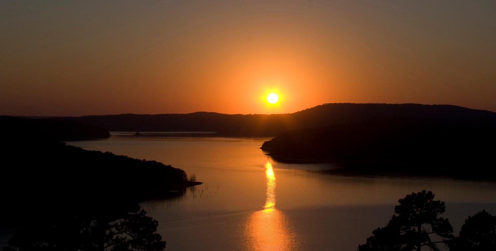
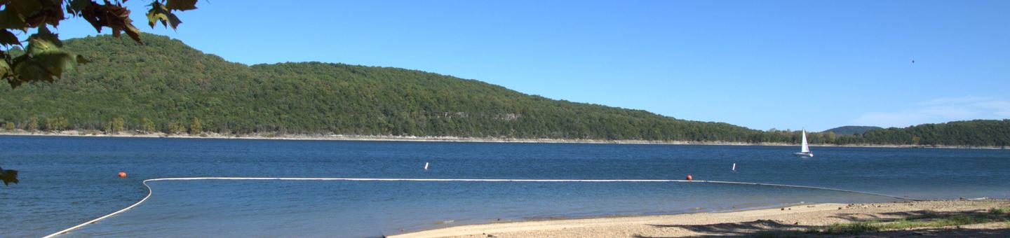
Natural Features and SceneryThe campground occupies a deep, narrow Ozark valley carved by the White River into the plateau. Steep, rugged hillsides rise on both sides, exposing limestone and dolomite bluffs and cliffs typical of karst topography. Roaring River itself is a cold, spring-fed trout stream fed by a deep blue spring that emerges from a cave at the base of a bluff. The water runs clear over gravel bars and pools, shaded by dense forest. More than 600 plant species grow in the park, some found nowhere else in Missouri. The valley floor and slopes support thick woodland and glade habitats. Expect classic southwest Missouri Ozark scenery: forested ridges, exposed rock outcrops, and the constant sound of moving water.
 4.75
4.75