Go if
You want river access for fishing and boating at a Corps-operated campground with full hookups during peak season.
Price
$24 - $75/night
Booking
Reservable
Sites
33 campsites
Season
Cherokee Campground ...
Cell
Unknown
Pets
Very Pet Friendly
Price
$24 - $75/night
Booking
Reservable
Sites
33 campsites
Season
Cherokee Campground ...
Cell
Unknown
Pets
Very Pet Friendly
We'll monitor this campground and alert you the moment sites become available.
Free to start · paid plans add 2-min scans
263,000+ sites monitored · Email alerts to start; SMS and in-app with an account
Learn more about alerts →Cherokee (Arkansas River)
#1 Quincy Road, Morrilton, AR 72110
We'll monitor this campground and alert you the moment sites become available.
Free to start · paid plans add 2-min scans
263,000+ sites monitored · Email alerts to start; SMS and in-app with an account
Learn more about alerts →You want river access for fishing and boating at a Corps-operated campground with full hookups during peak season.
You need consistently clean facilities or well-maintained grounds based on recent visitor feedback.
Camper Report Card
Rated higher than 12% of graded campgrounds
Graded on what 102 campers actually wrote - graded on 14 things that make or break a trip. Each topic is graded against every other campground on it - A is among the best, C about average. No star ratings.
Strengths
Watch-outs
Each topic is graded against every other campground on it; a topic campers liked never grades below C−. ± shows the 95% confidence range from the sample size.
Context for the broader area surrounding Cherokee (Arkansas River), sourced from the federal Recreation.gov rec-area record.
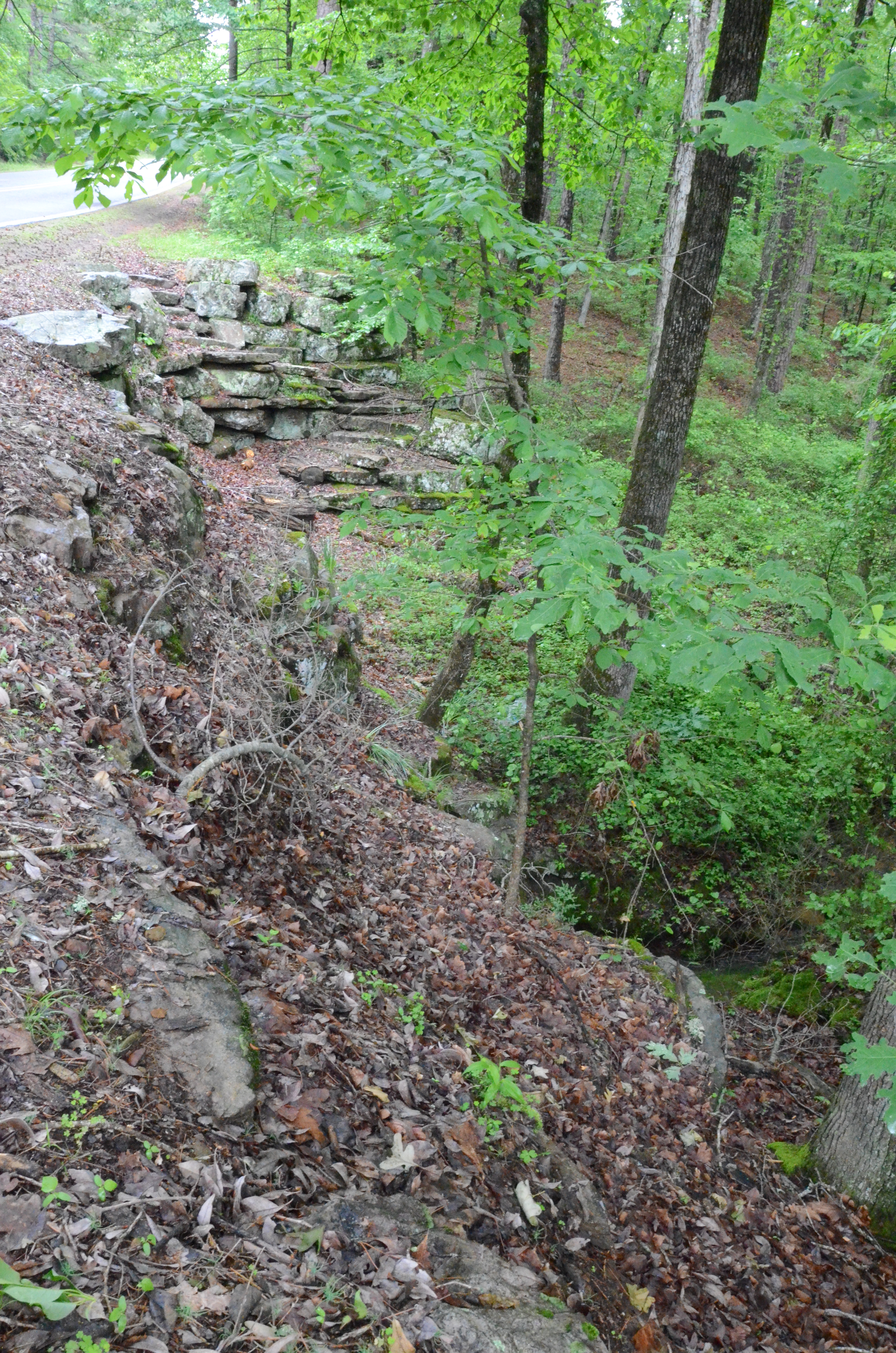
The Arkansas River is one of the Mississippi's largest tributaries. It flows 1,450 miles from the Rocky Mountains in Colorado, through the Royal Gorge, on through Kansas, Oklahoma, and Arkansas to its confluence with the Mississippi River. Four hundred and forty-five miles long with 17 locks and dams, the McClellan-Kerr Arkansas River Navigation System (MCKARNS) is a reliable, year-round waterway into the Southwest. Essentially a series of navigation pools connected by locks, the waterway enables vessels to overcome a 420-foot difference in elevation from the Mississippi River to the head of navigation at Catoosa, Oklahoma. The waterway has five major publicly developed ports and numerous privately developed facilities.
Availability, what to pack, similar spots — ask anything and get an instant answer.
Best season: spring. Spring offers the mildest weather (daytime highs typically in the 60s–80s°F, nights in the 40s–50s) and the best mix of activities: excellent fishing as warm waters bring fish up in the shallows, comfortable boating on the Arkansas River, and peak bird activity including migrating eagles and songbirds. Riverfront vistas are lush from recent rains and floodplain green-up, making wildlife viewing and photography especially rewarding with relatively low crowds compared with summer weekends. Expect Peak months: April, May, October, June Avoid: November, December, January, February
Overview cites spring as best season; mild temps and excellent fishing noted.
Reservation tips, booking windows, and free cancellation alerts.
Cherokee Campground offers a diverse range of amenities tailored to both individual and group campers. The campground features 33 spacious campsites equipped with 30 or 50 amp electric hookups and water connections, along with two large group picnic shelters. Additional facilities include a dock, seasonal hot showers, a boat ramp, a playground, paved roads, picnic tables, fire rings, and a dump station. A notable natural highlight is the proximity to the Arkansas River, which enhances recreational opportunities. However, based on user reviews, some amenities like restrooms and showers are inconsistently maintained and have been described as dirty or infested with spiders.
Researching this campground? Ask anything — other campers and our team will weigh in. No visit required.
Short heads-ups about the road in, gear quirks, timing, and more. You don't have to have been here to share what you know.
Rate Cherokee (Arkansas River)
Been here? Tap a star to start. Takes about a minute.
Sign-in required only if you want your name on it.
Pulled from per-site mentions in 129 reviews.
Site A7 received mixed reviews, with one user praising its cleanliness and another criticizing restroom maintenance nearby.
Site A10 was frequently mentioned for its scenic qualities and shade but also highlighted for narrow access routes.
Be the first to review this campground
Every adventure creates another. Share what you learned so the next camper feels a little more prepared heading out.